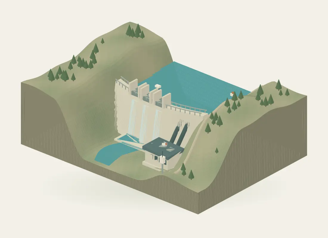
 01 / Water, structure & terrain
Hydropower
Connect dam and terrain surveys with water, weather and local deformation observations, then review the data in an engineering workspace.
Explore the workflowSurvey, sensing &
engineering technology
Explore how LiDAR surveying, measurement systems and engineering software can work around the same place. Each guide explains the inputs, outputs and measurement boundaries behind its interactive illustration.
These are illustrative workflows with representative models and synthetic data, not client projects.
01 / Water, structure & terrainConnect dam and terrain surveys with water, weather and local deformation observations, then review the data in an engineering workspace.
Explore the workflow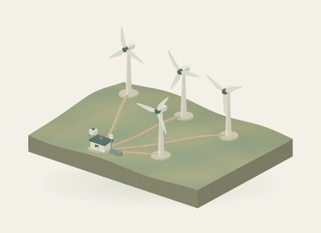 02 / Wind, turbines & terrain
Explore wind resource and site workflows using ground wind LiDAR, met observations, nacelle measurements, survey context and operating-data interfaces.
Explore the workflow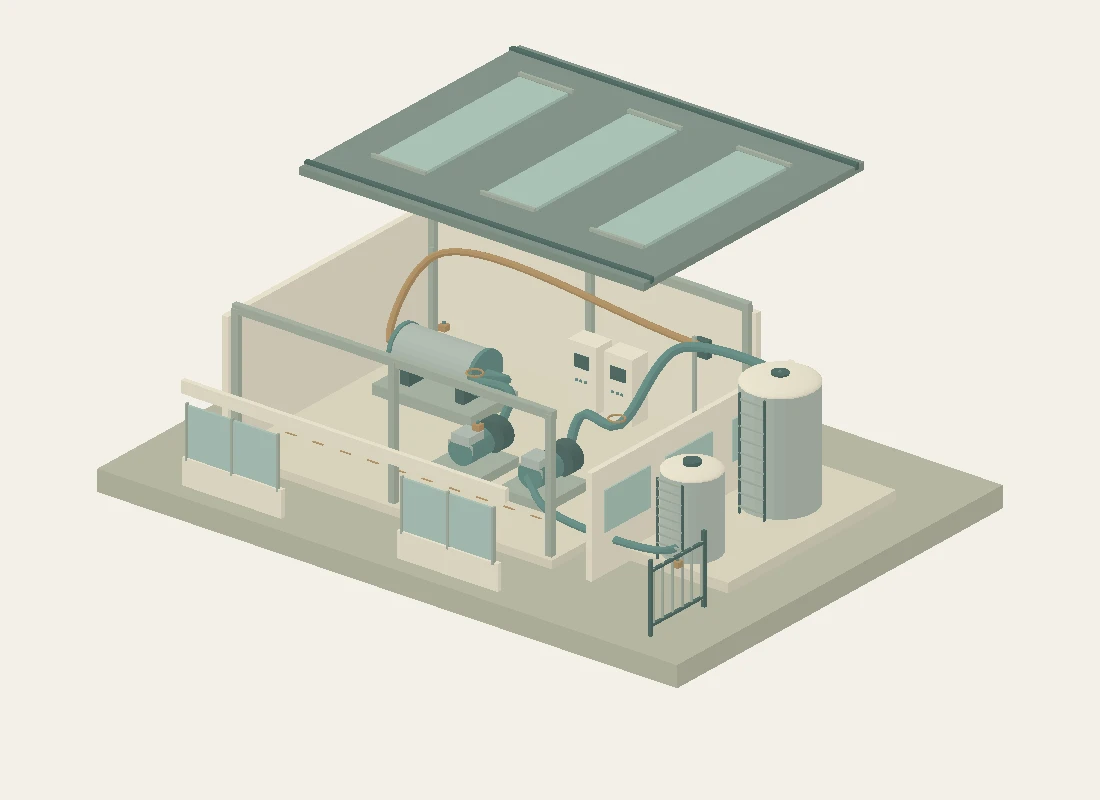 03 / Equipment, spaces & services
Connect industrial as-built surveys and models with utility-water observations, indoor logging, equipment interfaces and engineering asset records.
Explore the workflow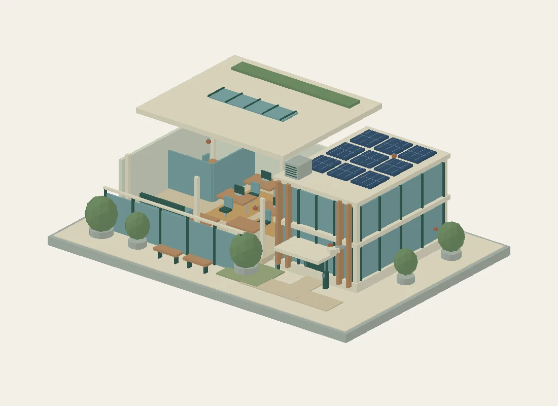 04 / Rooms, use & energy
Connect an office-complex survey with indoor CO₂, temperature, humidity, light, rooftop PV and building-energy observations in a spatial workspace.
Explore the workflow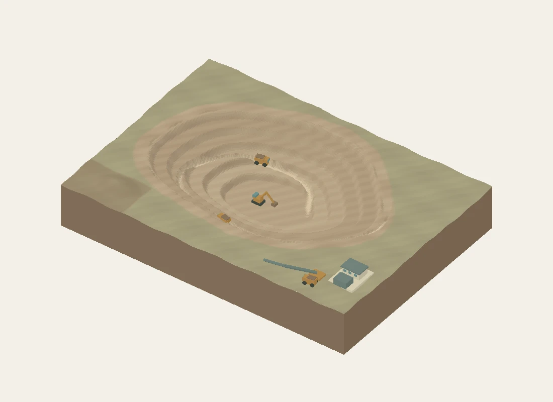 05 / Quantities & ground movement
Use long-range terrestrial LiDAR for repeat mine surfaces and quantities, alongside radar, survey control and local ground-movement observations.
Explore the workflow