The world.
In detail.
Capture what’s there. Understand what’s possible. Surveying, LiDAR processing, and engineering deliverables for the places you work.
Explore our solutions
From site to insight.
Choose the right starting point, whether you need a survey, help with existing data, or a finished engineering deliverable.
01Capture reality
Terrestrial laser scanning, UAV surveys, and field measurement.
Capture reality
Terrestrial laser scanning, UAV surveys, and field measurement.
Record existing conditions across buildings, infrastructure, industrial plants, and terrain. Plan coverage and survey control around the site, the required accuracy and the deliverables. Mobile mapping can support longer routes and asset corridors, with imagery or LiDAR selected to suit the task.
02Make the data usable
Point clouds translated into drawings, surfaces, and models.
Make the data usable
Point clouds translated into drawings, surfaces, and models.
Start with a new survey or data you already have. Register and review point clouds, check references and coverage, then prepare plans, sections, terrain surfaces or coordinated models. Agree on formats, detail and review criteria before processing.
03Share a clearer view
Make complex spaces easier to inspect and communicate.
Share a clearer view
Make complex spaces easier to inspect and communicate.
Use web views, animations, and visual models to help project teams review existing conditions and understand the work ahead.
Every site has
its own story.
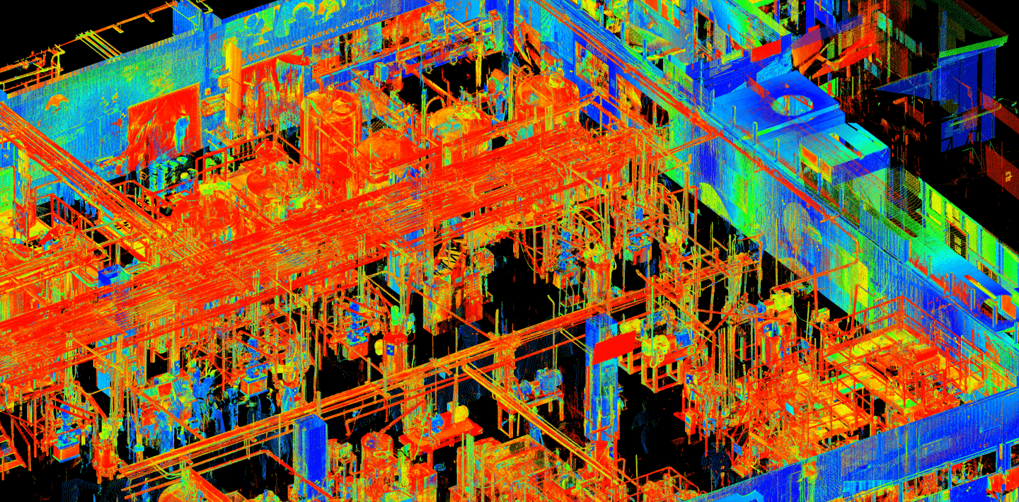
Know the site before you change it.
Existing-condition surveys and models for retrofits, expansion, and as-built documentation.
Manufacturing · FMCG · Oil & gas · Power
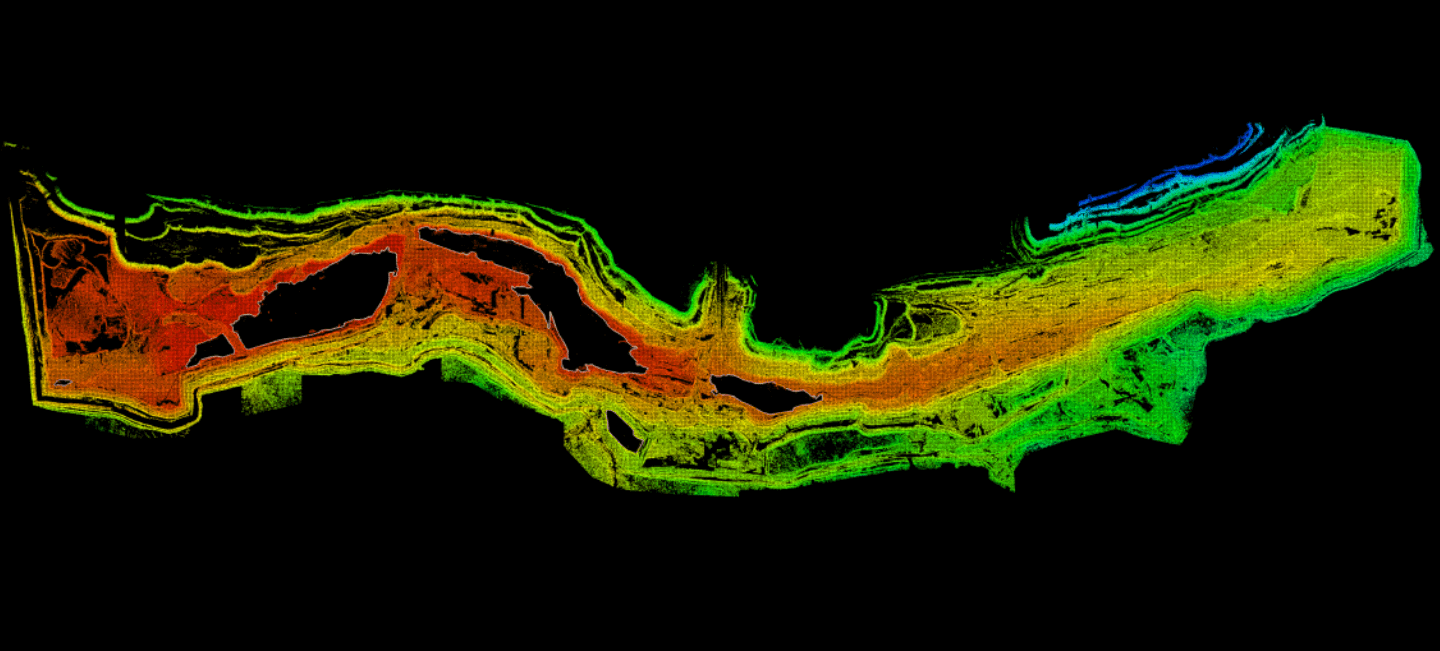
Put terrain into perspective.
Survey and model terrain for volumetric analysis, contour mapping, and engineering planning.
Open-cast mines · Earthworks · Natural resources
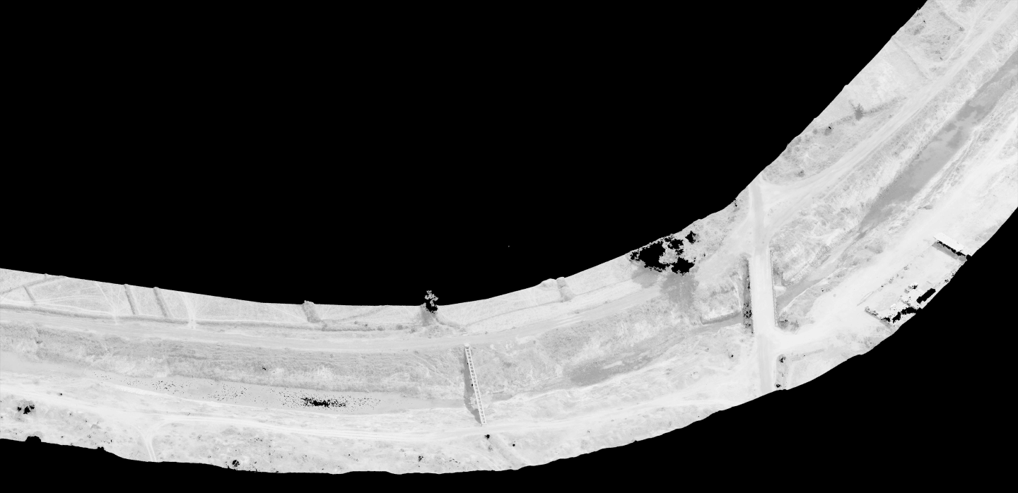
Follow the whole corridor.
Survey information for roads, rail, bridges, canals, and other civil infrastructure.
Transport · Water resources · Civil engineering
Capture the details worth keeping.
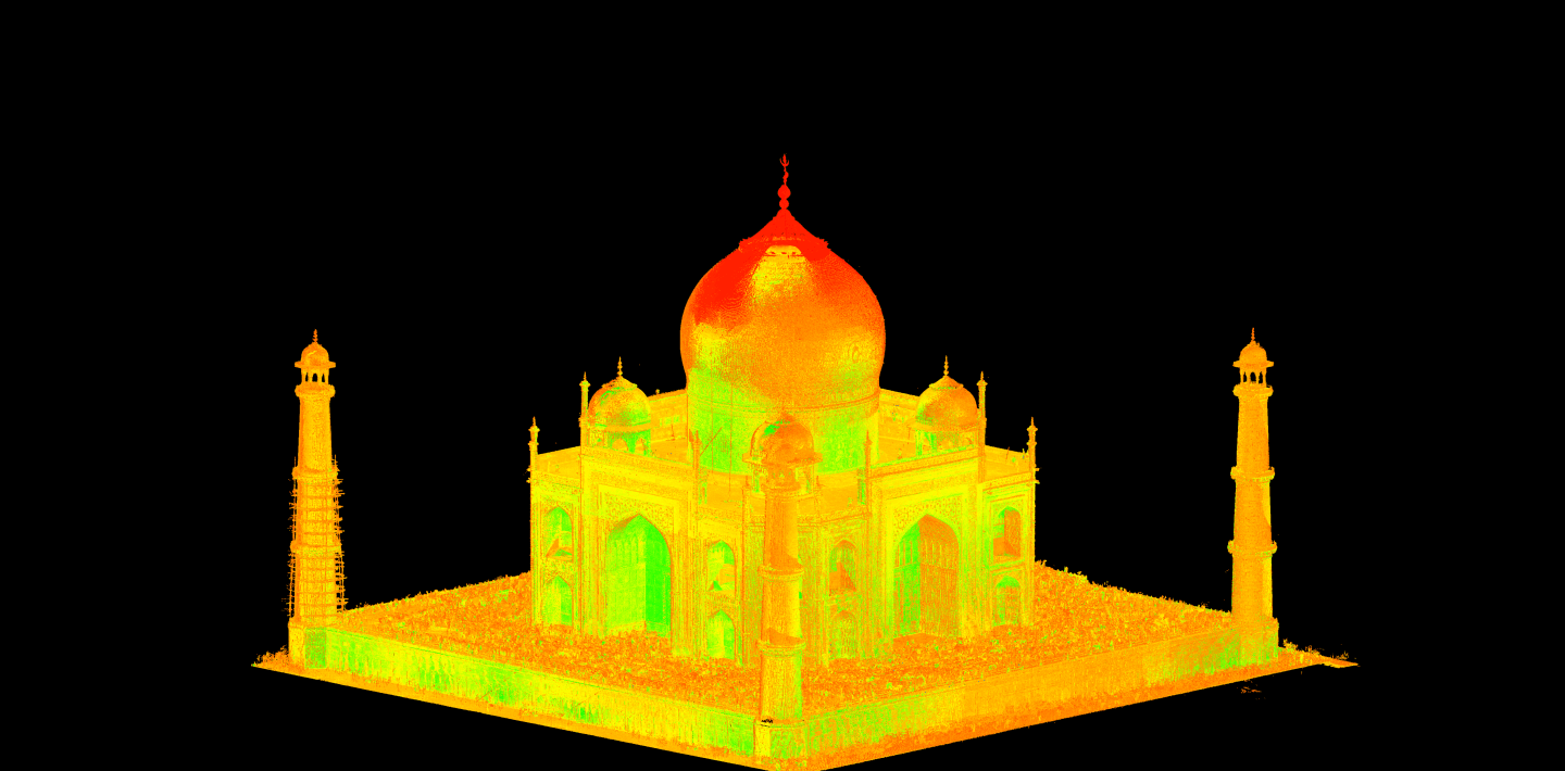
Document existing buildings and heritage spaces through as-built drawings, BIM, and 3D models.
Architecture · Construction · Cultural heritage
Questions worth
asking.
Practical answers to help scope the work.
What can a LiDAR survey deliver?
A LiDAR survey records visible surfaces as a point cloud. Depending on the brief, that geometry can support as-built drawings, sections, terrain surfaces, volume comparisons or a BIM model. The model or drawing is a processed deliverable: its detail, interpretation and review criteria must be agreed separately from capture.
Can you process point clouds that we already have?
Yes. A project can start with customer-supplied survey data. We first review file formats, registration, coordinate references, coverage and the required output. Missing geometry or an uncertain reference cannot be corrected simply by producing a more detailed model.
How is survey accuracy specified?
Specify the tolerance needed for the engineering decision, then choose the survey and checks to support it. Instrument specifications, range, surface properties, control, registration and coverage all matter. Point spacing, displayed decimals and a visually dense cloud are not an accuracy statement.
What should a scanning or modelling brief include?
Describe the site and access constraints, the area or assets to capture, the intended use, available drawings or point clouds, coordinate and height references, tolerances and output formats. For repeat quantities, also define survey epochs, the comparison boundary and any stockpile base surface.
What are you
working on?
Start with the requirement. We’ll help connect the relevant capabilities and team.