Sense what
changes.
Instruments, specialist software, and integrated systems for surveying, environmental monitoring, and engineering. Built around your application.
Explore our solutions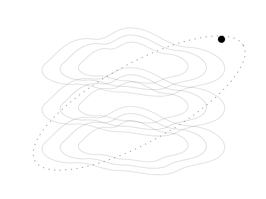
Start with what you need to measure.
Explore technologies for field measurement and monitoring. We’ll help identify the right instruments, software, and support.
01Surveying & positioning
Instruments and software for geospatial work.
Surveying & positioning
Instruments and software for geospatial work.
Build the control and capture workflow around the site. Combine positioning, benchmark checks, setting-out or repeat surveys with appropriate field and office processing. Mobile mapping may use imagery, LiDAR or both; the method follows the deliverable.
02Weather, wind & energy
Measure environmental conditions and renewable resources.
Weather, wind & energy
Measure environmental conditions and renewable resources.
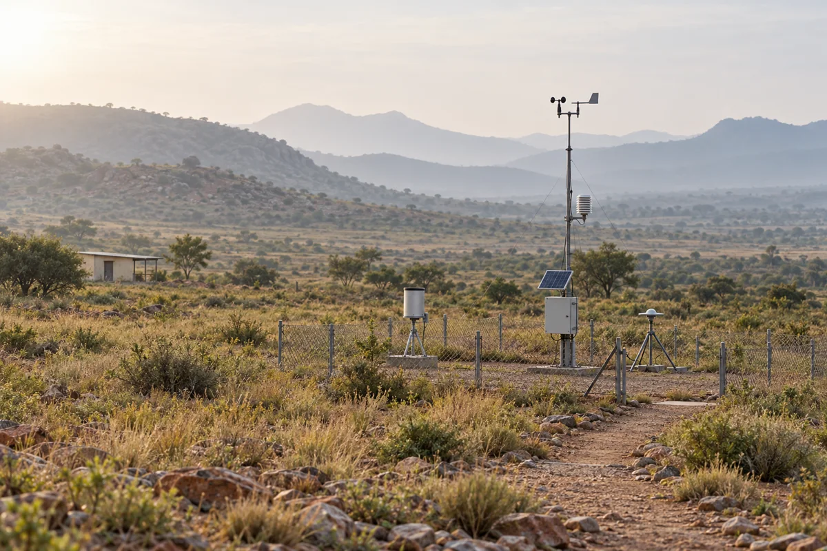
Explore weather stations, wind LiDAR, meteorological instruments, and solar monitoring systems for resource assessment, operations, and research.
03Water, soil & environment
Understand the conditions around and below you.
Water, soil & environment
Understand the conditions around and below you.
Match sensors, telemetry and acquisition to the site: local level and calibrated flow, configured water-quality probes, soil-moisture profiles and catchment or irrigation observations. Keep ambient particulate and gas measurements distinct from indoor CO₂ or process measurements; instrument suitability and any compliance requirements are scoped separately.
04Ground & structural monitoring
Observe movement and changing conditions.
Ground & structural monitoring
Observe movement and changing conditions.
Explore measurement technologies for slopes, ground movement, and infrastructure, including monitoring applications around mines, dams, and landslide-prone areas.
05Acquisition & connected workflows
Build the path from instrument to usable information.
Acquisition & connected workflows
Build the path from instrument to usable information.
Combine compatible data loggers, gateways, field and office processing software, and shared review tools. Scope local download, remote telemetry and existing-system interfaces around the instruments and the work.
Every site has
its own story.
Understand the resource. Monitor the conditions.
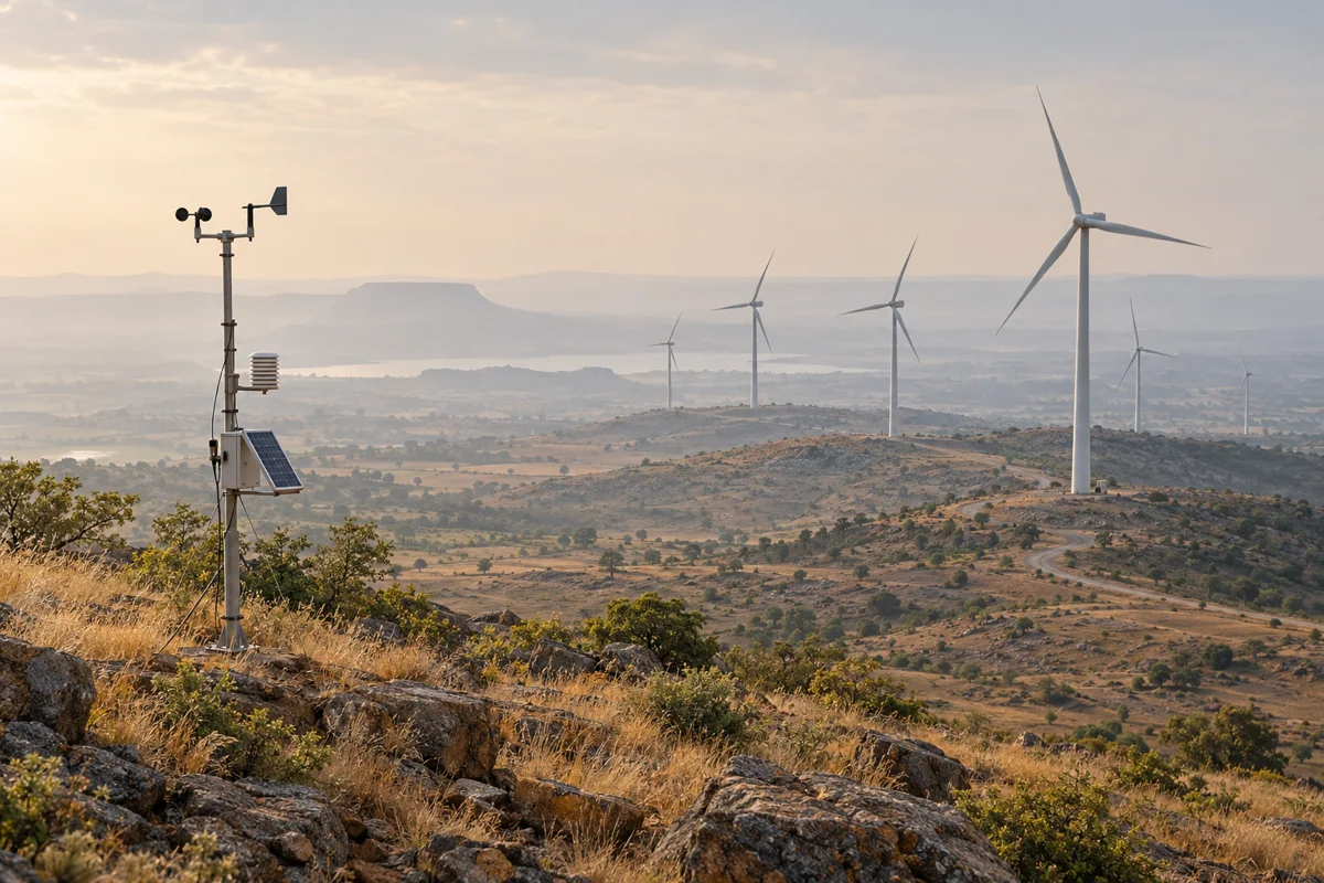
Wind and solar measurement, weather stations, and environmental data acquisition for renewable energy and climate applications.
Wind resource assessment · Solar monitoring · Meteorology
Follow changing conditions.
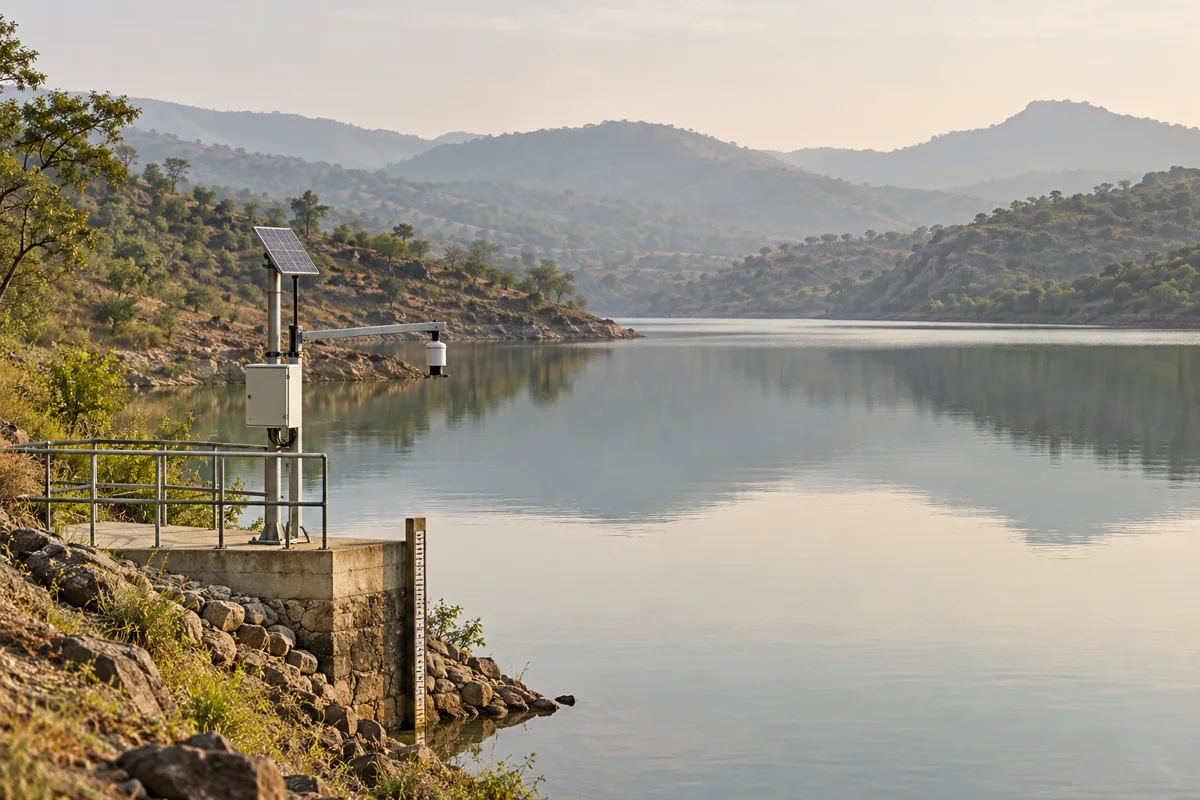
Water level, flow, quality, soil, and air monitoring for water resources, irrigation, and environmental programmes.
Hydrology · Irrigation · Environmental monitoring
Keep a closer view of the ground.
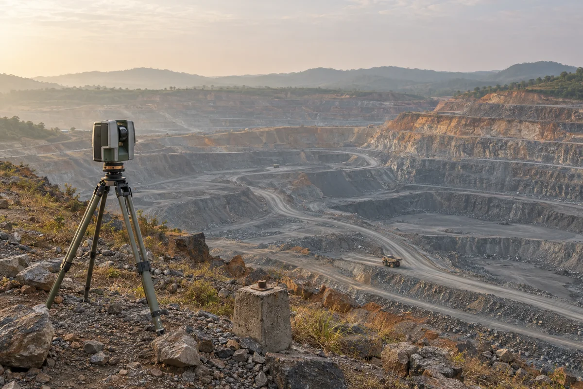
Geospatial instruments, slope monitoring, and deformation measurement for sites and infrastructure.
Mining · Construction · Dams · Transport
Build a useful measurement network.
Surveying and environmental monitoring technologies for public programmes, research, and long-term observation.
Government departments · Institutes · Field research
From selection
to the field.
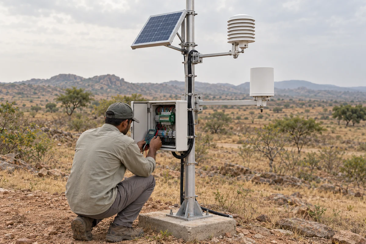
A working system needs more than a product. Define the installation, acquisition and support alongside the instruments.
Calibration scope, traceability, service intervals and response arrangements depend on the selected equipment and project.
Questions worth
asking.
Practical answers to help scope the work.
Can we start with one instrument rather than a complete system?
Yes. A requirement may be a single instrument, a data logger or a connected monitoring system. Selection starts with the quantity, range, installation conditions and decision to be supported. Installation, calibration arrangements, interfaces and ongoing support are scoped to that requirement.
Which measurement areas do you cover?
The scope includes surveying and positioning; weather, wind and solar measurement; water level, calibrated flow and configured water-quality sensing; soil and environmental observations; and ground or structural monitoring. A listed application is a starting point for selection, not a promise that one instrument measures every parameter.
Does every sensor connect directly to the cloud?
No. Some instruments use local downloads; others require a compatible logger, gateway or an interface to an existing system. Define the electrical interface, protocol, power, timing, communications and data-quality handling before treating the installation as connected. Network lines in the illustrations show a concept, not a universal wireless architecture.
Is radar displacement the same as survey displacement?
A slope radar observes relative movement along its line of sight. A total station measures coordinates of a target; an extensometer measures change along its installed axis. They sample different locations and components. They can complement each other, but their readings are not interchangeable and do not establish site safety on their own.
What support belongs in a monitoring scope?
Agree on site planning, installation and commissioning, reference checks, calibration arrangements, training, maintenance, spares or repair support and remote data review as appropriate. Traceability, service intervals and response arrangements depend on the equipment and contract; a generic system description is not a certification or service-level commitment.
What are you
working on?
Start with the requirement. We’ll help connect the relevant capabilities and team.